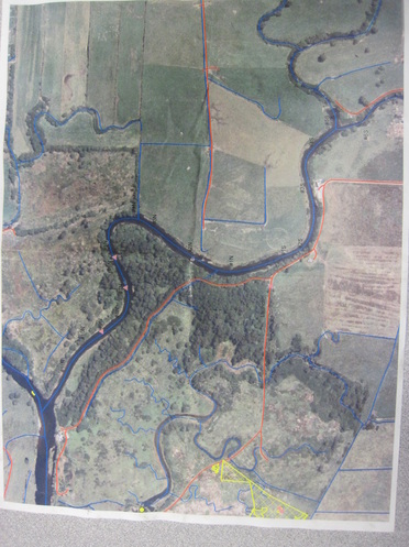
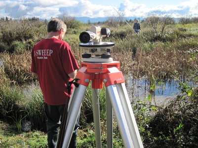
Purpose
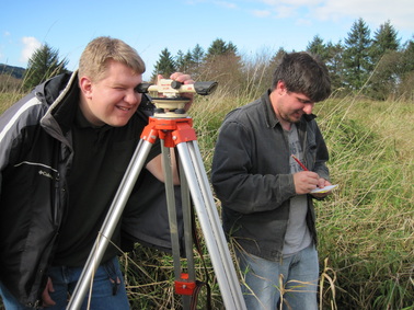
Project purpose: to survey the areas that have been diked before tidegates and dikes are removed as part of project Exodus (project Exodus’s goal is to reduce flooding severity and duraton) and to carry out a trend study following breeching of the dikes.
Research History
2009-2010
Teachers trained on use of GPS and GIS (Global Information System) equipment and programs Participating teachers assigned slough fingers and surrounding area to monitor over time Radcliffe Slough Byington Slough Sherman Swamp and Slough Lufman Slough Shannon Slough Sipp Slough along with Blind Slough Thomas Complex (Still need more 3 more teacher researchers) Noxious weed mapping and eradication Mudsnail research 2010-2011 Senior work day—eradication of noxious weed along road and at access points Continued monitoring of sloughs, surrounding vegetation, and animal use Mapping and eradication noxious weeds as they are located Survey protocols GIS vegetation mapping Slough channel profiles Slough channel use by animals including macro-invertebrates Water quality: Temperature, oxygen, pH, conductivity, salinity, turbidity, phosphates, nitrates Animals: Birds, river and upland mammals, amphibians, reptiles, fish, aquatic macro-invertebrates |
  |